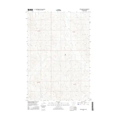
2017 Map of Crow Agency NE
USGS Topo · Published 2017About this map
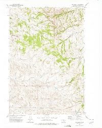
Eagle Butte rises as a central landmark in this Big Horn County landscape, where complex drainage networks define the terrain. The eastern portion of the quadrangle is dominated by the branching system of Tullock Cr, including the E Fork Tullock Cr, W Fork Tullock Cr, and various smaller tributaries. This hydrology is mirrored on the western side of the divide by the winding path of Ash Cr and Little Dry Cr. The map illustrates a primarily rural and undeveloped area, where the primary organizational structure is the Public Land Survey System, marked by township boundaries like t1s r35e and t2s r36e. The absence of dense settlement highlights the natural character of this Montana high country, focused on the seasonal watercourses of Dawes Cr and Willow Cr.
Find a feature on this map
12 named features on this map. Tap any name to fly to it.
Don’t see what you’re looking for? This feature index may not catch every label — zoom into the map to look around manually.
Map Details
Editions of this 2017 Crow Agency NE Map
This is the sole edition of this map. No revisions or reprints were ever made.
Other maps of this area

1954 · Hardin
USGS Topo · 1:250,000

1957 · Hardin
USGS Topo · 1:250,000

1958 · Hardin
USGS Topo · 1:250,000

1967 · Jeans Fork NW
USGS Topo · 1:24,000

1967 · Crow Agency NE
USGS Topo · 1:24,000

1967 · Crow Agency SE
USGS Topo · 1:24,000
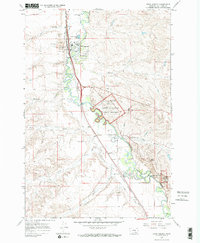
1967 · Crow Agency
USGS Topo · 1:24,000
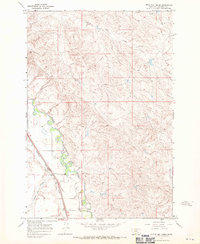
1967 · Little Dry Creek
USGS Topo · 1:24,000
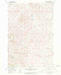
1967 · Jeans Fork SW
USGS Topo · 1:24,000
1972 · The Dugout
USGS Topo · 1:24,000