
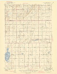
1942 Map of Crow Lake
USGS Topo · Published 1942About this map
Crow Lake and the surrounding prairie of Jerauld and Aurora Counties appear here as they were surveyed just before the Second World War. The landscape is defined by its agricultural organization, divided into townships such as Pleasant Valley, Cooper, and Firesteel. This era was marked by a dense network of country schools that served a dispersed farming population, including Viola Valley Sch, Whittier Sch, and Monitor Sch.
Find a feature on this map
49 named features on this map. Tap any name to fly to it.
Don’t see what you’re looking for? This feature index may not catch every label — zoom into the map to look around manually.
Map Details
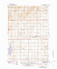
Editions of this 1942 Crow Lake Map
3 editions found
Other maps of this area

1898 · Huron
USGS Topo · 1:125,000

1899 · Mitchell
USGS Topo · 1:125,000

1941 · Kimball North
USGS Topo · 1:62,500

1951 · Kimball North
USGS Topo · 1:62,500

1953 · Huron
USGS Topo · 1:250,000

1954 · Huron
USGS Topo · 1:250,000

1955 · Mitchell
USGS Topo · 1:250,000

1959 · Mitchell
USGS Topo · 1:250,000

1973 · Wessington Springs
USGS Topo · 1:24,000
1973 · Wessington Springs SW
USGS Topo · 1:24,000
Featured Places
- Crow Lake, SD
- Eureka Township, SD
- Anina Township, SD
- White Lake Township, SD
- Pleasant Valley Township, SD