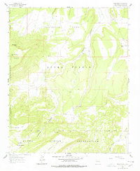
1961 Map of Crow Point
USGS Topo · Published 1978About this map
Acoma Pueblo lands define this high-desert landscape, captured through 1956 photogrammetry and field-checked just after the turn of the decade. The map details a complex arrangement of administrative boundaries, including the Acoma Indian Reservation and the Acoma Purchase, illustrating the historical land management of the region. Distinctive geological formations like the broad Sandstone Mesa and Cebollita Mesa dominate the topography, bisected by the deep channel of Cañon Largo. Evidence of water management and survival in this arid environment is visible through features such as Sky Spring, Crow Point Dam, and the seasonal flow of Acoma Creek. Early transportation is represented by a network of a Jeep Trail and a Pack Trail, which suggest the limited but essential routes used for traversing the mesa tops and canyon floors near the settlement of Crow Point.
Find a feature on this map
20 named features on this map. Tap any name to fly to it.
Don’t see what you’re looking for? This feature index may not catch every label — zoom into the map to look around manually.
Map Details
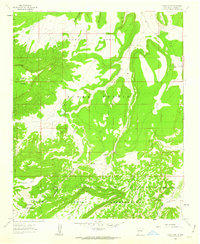
Editions of this 1961 Crow Point Map
2 editions found
Other maps of this area

1883 · Mt. Taylor
USGS Topo · 1:250,000

1886 · Mt. Taylor
USGS Topo · 1:250,000

1892 · Mt. Taylor
USGS Topo · 1:250,000

1899 · Mt. Taylor
USGS Topo · 1:250,000

1917 · Broom Mountain
USGS Topo · 1:125,000

1954 · Socorro
USGS Topo · 1:250,000

1957 · Grants SE
USGS Topo · 1:24,000

1957 · Mc Cartys
USGS Topo · 1:24,000

1957 · Cubero
USGS Topo · 1:24,000

1958 · Socorro
USGS Topo · 1:250,000