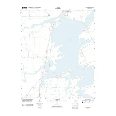
2010 Map of Crowder
USGS Topo · Published 2010About this map
The town of Crowder serves as the focal point for this landscape, which is heavily defined by the intricate shoreline where the plains meet the fingers of the reservoir. A network of rural and secondary roads, such as Bug Tussel Rd and Flowery Mound Rd, provides access to the many peninsulas created by the flooding of valley floors. For local history researchers, the Massey Cemetery remains a significant landmark near the water's edge, preserving a connection to the area's residents before the landscape was altered by large-scale water management projects.
Find a feature on this map
34 named features on this map. Tap any name to fly to it.
Don’t see what you’re looking for? This feature index may not catch every label — zoom into the map to look around manually.
Map Details
Editions of this 2010 Crowder Map
This is the sole edition of this map. No revisions or reprints were ever made.
Other maps of this area

1898 · McAlester
USGS Topo · 1:125,000

1900 · Canadian
USGS Topo · 1:125,000

1909 · Mc Alester
USGS Topo · 1:125,000

1946 · Fort Smith
USGS Topo · 1:250,000

1950 · Mcalester
USGS Topo · 1:250,000

1962 · McAlester
USGS Topo · 1:250,000

1965 · Fort Smith
USGS Topo · 1:250,000

1965 · McAlester
USGS Topo · 1:250,000

1967 · Fort Smith
USGS Topo · 1:250,000

1967 · Krebs
USGS Topo · 1:24,000