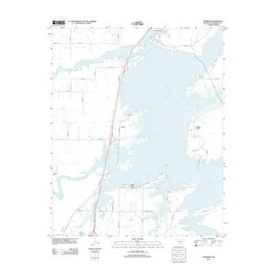
2012 Map of Crowder
USGS Topo · Published 2012About this map
Eufaula Lake dominates this portion of Pittsburg County, its intricate shoreline creating numerous peninsulas and inlets around the community of Crowder. The map illustrates the complex geography of the lake's western side, where local landmarks like Massey Point and Bud S Pt extend into the water. Settlement patterns here are tied to the water and major thoroughfares, including the small communities of Reams and Bug Tussle. The landscape is a network of rural roads such as Flowery Mound Rd and Rocky Ridge Rd that navigate the irregular terrain shaped by Coal Cr and Wildhorse Cr. Genealogists will find the location of Massey Cem particularly useful, situated on a high point overlooking the lake's northern reaches.
Find a feature on this map
29 named features on this map. Tap any name to fly to it.
Don’t see what you’re looking for? This feature index may not catch every label — zoom into the map to look around manually.
Map Details
Editions of this 2012 Crowder Map
This is the sole edition of this map. No revisions or reprints were ever made.
Other maps of this area

1898 · McAlester
USGS Topo · 1:125,000

1900 · Canadian
USGS Topo · 1:125,000

1909 · Mc Alester
USGS Topo · 1:125,000

1946 · Fort Smith
USGS Topo · 1:250,000

1950 · Mcalester
USGS Topo · 1:250,000

1962 · McAlester
USGS Topo · 1:250,000

1965 · Fort Smith
USGS Topo · 1:250,000

1965 · McAlester
USGS Topo · 1:250,000

1967 · Fort Smith
USGS Topo · 1:250,000

1967 · Krebs
USGS Topo · 1:24,000