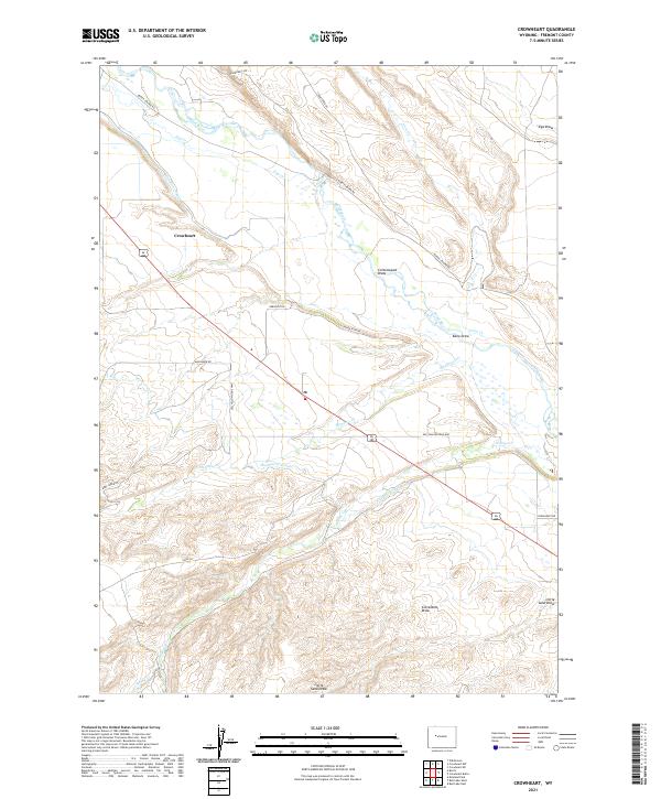
2021 Map of Crowheart
USGS Topo · Published 2021About this map
Crowheart serves as the focal point for this Fremont County landscape, situated where the Wind River and Crow Cr converge. The area's hydraulic history is clearly visible through an extensive network of irrigation infrastructure, including the Wind River Canal, Meadow Cr Canal, and Willow Cr Canal, which together have shaped the local ranching and agricultural patterns. These water systems run alongside historical transportation routes like the Old Yellowstone Hwy and the Burris-Lenore Rd, which connect the settlement to the surrounding terrain. Local topography is defined by a series of significant drainage features such as Cottonwood Draw, Kane Draw, and Little Sand Draw, providing essential context for land use and property boundaries. Family-named landmarks like Urbigkeit Rd and Alexander Rd offer valuable clues for genealogical research and property history in this part of Wyoming.
Find a feature on this map
33 named features on this map. Tap any name to fly to it.
Don’t see what you’re looking for? This feature index may not catch every label — zoom into the map to look around manually.
Map Details
Editions of this 2021 Crowheart Map
This is the sole edition of this map. No revisions or reprints were ever made.
Other maps of this area

1951 · Bull Lake East
USGS Topo · 1:24,000

1952 · Wilderness
USGS Topo · 1:24,000

1952 · Crowheart Butte
USGS Topo · 1:24,000

1952 · Crowheart NW
USGS Topo · 1:24,000

1952 · Crowheart NE
USGS Topo · 1:24,000

1952 · Bull Lake West
USGS Topo · 1:24,000

1952 · Crowheart
USGS Topo · 1:24,000

1952 · Burris
USGS Topo · 1:24,000

1952 · Kirkland Park
USGS Topo · 1:24,000

1955 · Thermopolis
USGS Topo · 1:250,000