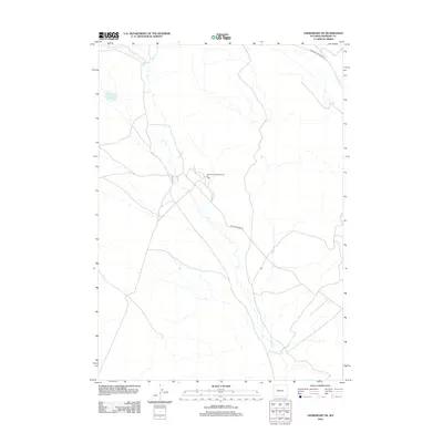
2012 Map of Crowheart NE
USGS Topo · Published 2012About this map
Industrial energy production and arid-land hydrology characterize this Fremont County landscape. The central focus is the Northwest Sheldon Dome Oil Field, a site of active resource extraction accessed by a network of local roads including Sheldon Dome Rd and Maverick Spring Rd. This infrastructure reflects the region's long-standing reliance on the oil and gas sector, which has shaped local settlement and transportation patterns for decades.
Find a feature on this map
6 named features on this map. Tap any name to fly to it.
Don’t see what you’re looking for? This feature index may not catch every label — zoom into the map to look around manually.
Map Details
Editions of this 2012 Crowheart NE Map
This is the sole edition of this map. No revisions or reprints were ever made.
Other maps of this area

1904 · Kirwin
USGS Topo · 1:125,000

1906 · Kirwin
USGS Topo · 1:125,000

1951 · Lookout Butte SW
USGS Topo · 1:24,000

1951 · Maverick Spring
USGS Topo · 1:24,000

1952 · Antelope Ridge
USGS Topo · 1:24,000

1952 · Crowheart Butte
USGS Topo · 1:24,000

1952 · Crowheart NW
USGS Topo · 1:24,000

1952 · Crowheart NE
USGS Topo · 1:24,000

1952 · Crowheart
USGS Topo · 1:24,000

1955 · Thermopolis
USGS Topo · 1:250,000