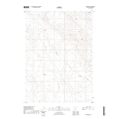
2017 Map of Crowheart NE
USGS Topo · Published 2017About this map
Rolff Lake sits in the northwest quadrant of this high-desert landscape in Fremont County, where the topography is defined by complex drainage systems and seasonal watercourses. The drainage patterns are clearly visible through features like Maverick Spring Draw, Coal Draw, and Paintpot Draw, which carve through the arid terrain between township boundaries. Transportation through this remote stretch of Wyoming relies on a handful of established routes, most notably Maverick Springs Rd in the northeast and Sheldon Dome Rd cutting through the central and southern sections. These roads likely serve the energy industry or ranching operations typical of the Wind River Basin. Smaller water features such as Red Cr and Dry Cr illustrate the intermittent nature of the local hydrology in this sparsely populated region of the state.
Find a feature on this map
12 named features on this map. Tap any name to fly to it.
Don’t see what you’re looking for? This feature index may not catch every label — zoom into the map to look around manually.
Map Details
Editions of this 2017 Crowheart NE Map
This is the sole edition of this map. No revisions or reprints were ever made.
Other maps of this area

1904 · Kirwin
USGS Topo · 1:125,000

1906 · Kirwin
USGS Topo · 1:125,000

1951 · Lookout Butte SW
USGS Topo · 1:24,000

1951 · Maverick Spring
USGS Topo · 1:24,000

1952 · Antelope Ridge
USGS Topo · 1:24,000

1952 · Crowheart Butte
USGS Topo · 1:24,000

1952 · Crowheart NW
USGS Topo · 1:24,000

1952 · Crowheart NE
USGS Topo · 1:24,000

1952 · Crowheart
USGS Topo · 1:24,000

1955 · Thermopolis
USGS Topo · 1:250,000