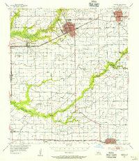
1955 Map of Crowley
USGS Topo · Published 1956About this map
The rice-farming hub of Crowley and the neighboring city of Rayne anchor this mid-century survey of the Acadia Parish prairie. The landscape is defined by an intricate network of irrigation infrastructure including the Marsh Canal, Roller Canal, and Crowley Canal, which support the region's agricultural economy. This 1950s study reveals the local institutional footprint, from the Louisiana State University Experiment Station to the Ross High Sch and High Sch in the center of Crowley.
Find a feature on this map
52 named features on this map. Tap any name to fly to it.
Don’t see what you’re looking for? This feature index may not catch every label — zoom into the map to look around manually.
Map Details
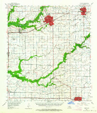
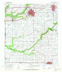
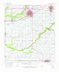
Editions of this 1955 Crowley Map
4 editions found
Other maps of this area

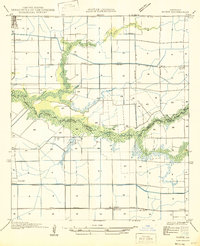
1932 · Abbeville NW
USGS Topo · 1:31,680

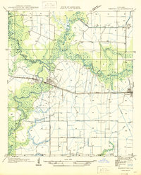
1934 · Duson
USGS Topo · 1:31,680

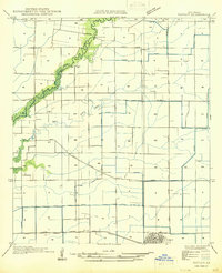
1935 · Branch
USGS Topo · 1:31,680
1946 · Morse
USGS Topo · 1:31,680

1946 · Leroy
USGS Topo · 1:31,680

1946 · Schooner Bayou NE
USGS Topo · 1:31,680

1946 · Schooner Bayou NW
USGS Topo · 1:31,680
1946 · Mermentau
USGS Topo · 1:31,680
1946 · Kaplan
USGS Topo · 1:31,680

1946 · Rayne
USGS Topo · 1:31,680