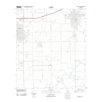
2012 Map of Crowley East
USGS Topo · Published 2012About this map
Crowley and Rayne anchor this 2012 study of Acadia Parish, where the grid of the city meets the agricultural expanses of the Mermentau Prairie. The landscape is defined by its water management and resource extraction, featuring the Crowley Canal and the extensive Crowley Oil and Gas Field. To the south, the terrain transitions into more rural territory near the settlement of Ebenezer, where the Ebenezer Cem and Leger Cem serve as landmarks for local genealogy.
Find a feature on this map
142 named features on this map. Tap any name to fly to it.
Don’t see what you’re looking for? This feature index may not catch every label — zoom into the map to look around manually.
Map Details
Editions of this 2012 Crowley East Map
This is the sole edition of this map. No revisions or reprints were ever made.
Other maps of this area

1934 · Duson
USGS Topo · 1:31,680

1935 · Branch
USGS Topo · 1:31,680

1946 · Morse
USGS Topo · 1:31,680

1946 · Leroy
USGS Topo · 1:31,680

1946 · Kaplan
USGS Topo · 1:31,680

1946 · Rayne
USGS Topo · 1:31,680

1947 · Branch
USGS Topo · 1:31,680

1947 · Iota
USGS Topo · 1:31,680

1949 · Estherwood
USGS Topo · 1:31,680

1952 · Lake Charles
USGS Topo · 1:250,000