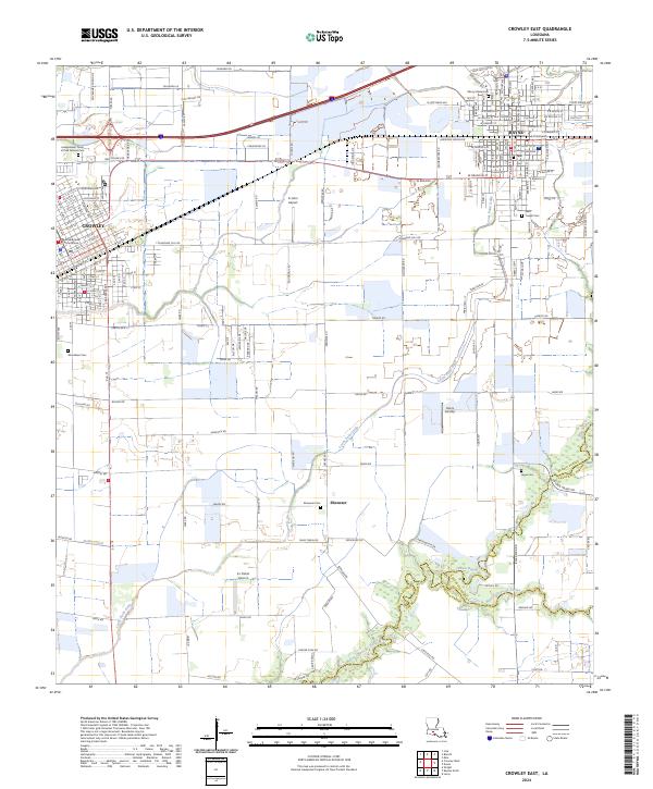
2024 Map of Crowley East
USGS Topo · Published 2024About this map
The Acadia Parish Courthouse serves as the focal point for Crowley, anchoring a landscape where the dense street grids of the parish seat and nearby Rayne give way to an extensive network of irrigation canals and agricultural roads. The southern portion of the map is defined by the winding course of Bayou Queue de Tortue, which forms the boundary with Vermilion Parish. This area exhibits a transition from organized municipal centers to a rural economy dependent on water management, evidenced by features like the Bluefish Rd Roller Canal and Lyons Point Gully. Local history and genealogy are well-represented by numerous burial grounds, including the Independent Order of Odd Fellows Cem and the Saint Joseph Catholic Church Cem. Small aviation hubs such as K-John Airport and Hains Airstrip dot the countryside, reflecting the region's long-standing connection to aerial crop dusting and local transport.
Find a feature on this map
60 named features on this map. Tap any name to fly to it.
Don’t see what you’re looking for? This feature index may not catch every label — zoom into the map to look around manually.
Map Details
Editions of this 2024 Crowley East Map
This is the sole edition of this map. No revisions or reprints were ever made.
Other maps of this area

1934 · Duson
USGS Topo · 1:31,680

1935 · Branch
USGS Topo · 1:31,680

1946 · Morse
USGS Topo · 1:31,680

1946 · Leroy
USGS Topo · 1:31,680

1946 · Kaplan
USGS Topo · 1:31,680

1946 · Rayne
USGS Topo · 1:31,680

1947 · Branch
USGS Topo · 1:31,680

1947 · Iota
USGS Topo · 1:31,680

1949 · Estherwood
USGS Topo · 1:31,680

1952 · Lake Charles
USGS Topo · 1:250,000