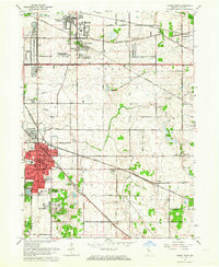
1962 Map of Crown Point
USGS Topo · Published 1976About this map
Crown Point stands as the central hub of this Lake County landscape, serving as the seat of local governance and industry during the early 1960s. The map illustrates a period of significant suburban development radiating from the core, with residential clusters like Southmoor Park, Chapel Manor, and Green Acres emerging along the grid of avenues. This transition from rural farmland to residential sprawl is punctuated by established landmarks such as the County Fairgrounds and the County Sanitarium.
Find a feature on this map
63 named features on this map. Tap any name to fly to it.
Don’t see what you’re looking for? This feature index may not catch every label — zoom into the map to look around manually.
Map Details
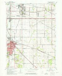
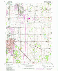
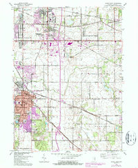
Editions of this 1962 Crown Point Map
4 editions found
Other maps of this area

1900 · Toleston
USGS Topo · 1:62,500

1934 · Porter
USGS Topo · 1:48,000

1940 · Porter
USGS Topo · 1:62,500

1953 · Leroy
USGS Topo · 1:24,000

1953 · St. John
USGS Topo · 1:24,000

1953 · Palmer
USGS Topo · 1:24,000

1953 · Gary
USGS Topo · 1:24,000

1953 · Crown Point
USGS Topo · 1:24,000

1953 · Hebron
USGS Topo · 1:24,000

1953 · Garyton
USGS Topo · 1:24,000