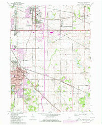
1962 Map of Crown Point
USGS Topo · Published 1980About this map
Crown Point serves as the focal point of this mid-century Lake County survey, showing the city's concentrated grid established around the Court House and Courthouse PO. Public institutions are prominent throughout the landscape, including the County Sanatarium, Juvenile Detention Home, and the County Home situated to the east. The expansion of residential life is evident in the development of Turkey Creek Meadows, Chapel Manor, and Independence Hill, while the region's leisure and modern culture are represented by the Drive-in Theater and a Drag Strip near Green Acres.
Find a feature on this map
68 named features on this map. Tap any name to fly to it.
Don’t see what you’re looking for? This feature index may not catch every label — zoom into the map to look around manually.
Map Details
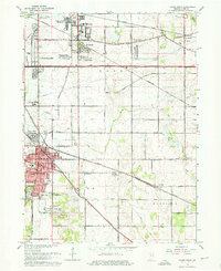
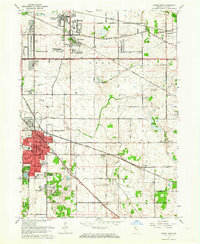
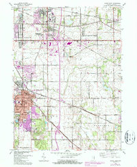
Editions of this 1962 Crown Point Map
4 editions found
Other maps of this area

1900 · Toleston
USGS Topo · 1:62,500

1934 · Porter
USGS Topo · 1:48,000

1940 · Porter
USGS Topo · 1:62,500

1953 · Leroy
USGS Topo · 1:24,000

1953 · St. John
USGS Topo · 1:24,000

1953 · Palmer
USGS Topo · 1:24,000

1953 · Gary
USGS Topo · 1:24,000

1953 · Crown Point
USGS Topo · 1:24,000

1953 · Hebron
USGS Topo · 1:24,000

1953 · Garyton
USGS Topo · 1:24,000