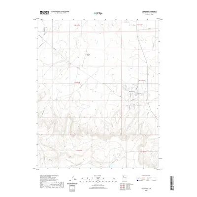
2020 Map of Crownpoint
USGS Topo · Published 2020About this map
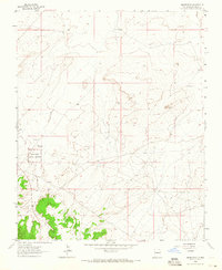
Crownpoint serves as a vital hub within the Eastern Navajo Agency, situated where high-desert mesas meet the drainages of Indian Cr and the Puerco River. This modern survey illustrates a community deeply integrated with its educational and civic infrastructure, anchored by the campus of Navajo Technical University and the localized travel afforded by the Crownpoint Airport. The topography is defined by significant landmarks such as Sandstone Cove, while the road network reflects both residential growth and traditional land management, with routes like Chaco Blvd, Yatah Trl, and Chapter Hse Dr connecting the central settlement to outlying areas. The mapping of Coal Canyon Rd and various Navajo Service Routes highlights the ongoing importance of access across the high-elevation terrain of McKinley County.
Find a feature on this map
30 named features on this map. Tap any name to fly to it.
Don’t see what you’re looking for? This feature index may not catch every label — zoom into the map to look around manually.
Map Details
Editions of this 2020 Crownpoint Map
This is the sole edition of this map. No revisions or reprints were ever made.
Other maps of this area

1886 · Wingate
USGS Topo · 1:250,000

1892 · Wingate
USGS Topo · 1:250,000

1954 · Gallup
USGS Topo · 1:250,000

1958 · Gallup
USGS Topo · 1:250,000

1959 · Gallup
USGS Topo · 1:250,000

1962 · Gallup
USGS Topo · 1:250,000
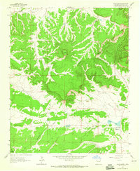
1963 · Hosta Butte
USGS Topo · 1:24,000
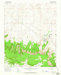
1963 · Crownpoint
USGS Topo · 1:24,000
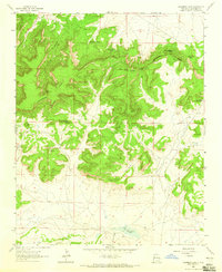
1963 · Casamero Lake
USGS Topo · 1:24,000
1963 · Heart Rock
USGS Topo · 1:24,000
Featured Places
- Crownpoint, Eastern Navajo Agency
- Eastern Navajo Agency, NM
- McKinley County, NM
- United States
- New Mexico