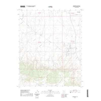
2023 Map of Crownpoint
USGS Topo · Published 2023About this map
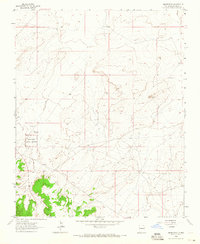
Crownpoint serves as a significant hub within the Navajo Nation, anchored by the campus of Navajo Technical University and the Crownpoint Airport. The landscape is defined by the ephemeral drainage of Indian Creek as it moves through the high desert toward the Puerco River in the south. The road network reflects a mixture of tribal service routes and local streets such as Chaco Blvd and Turquoise St, which give way to more remote tracks like Sandstone Cove and Yellow Mesa Rd in the mesa country. This 2023 survey provides a contemporary record of the community's residential and educational expansion, contrasting with the surrounding open terrain marked by prominent landmarks like Tall Mtn and Blue Mesa Rd.
Find a feature on this map
33 named features on this map. Tap any name to fly to it.
Don’t see what you’re looking for? This feature index may not catch every label — zoom into the map to look around manually.
Map Details
Editions of this 2023 Crownpoint Map
This is the sole edition of this map. No revisions or reprints were ever made.
Other maps of this area

1886 · Wingate
USGS Topo · 1:250,000

1892 · Wingate
USGS Topo · 1:250,000

1954 · Gallup
USGS Topo · 1:250,000

1958 · Gallup
USGS Topo · 1:250,000

1959 · Gallup
USGS Topo · 1:250,000

1962 · Gallup
USGS Topo · 1:250,000
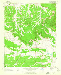
1963 · Hosta Butte
USGS Topo · 1:24,000
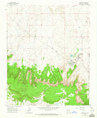
1963 · Crownpoint
USGS Topo · 1:24,000
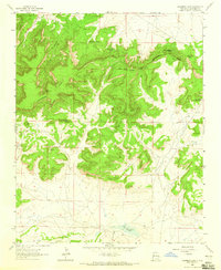
1963 · Casamero Lake
USGS Topo · 1:24,000
1963 · Heart Rock
USGS Topo · 1:24,000
Featured Places
- Crownpoint, Eastern Navajo Agency
- Eastern Navajo Agency, NM
- McKinley County, NM
- United States
- New Mexico