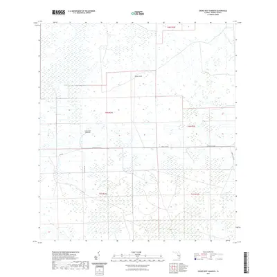
2021 Map of Crows Nest Hammock
USGS Topo · Published 2021About this map
Dinner Island and the elevated ground of Crows Nest Hammock rise above the characteristic wetlands of Hendry County, offering a glimpse into the seasonal hydrology of south Florida. This 2021 landscape is defined by the flow of Crows Nest Slough and Boggy Slough, punctuated by open water features like Rocky Lake and Tony Strand. The grid pattern of the Public Land Survey System intersects with modern infrastructure, including the Immokalee Exchange and Clewiston Exchange. Local transportation follows historical corridors such as Co RD 846 and Roberts Ranch Rd, showing how agricultural and ranching access continues to navigate the complex marshlands and sloughs of the region.
Find a feature on this map
16 named features on this map. Tap any name to fly to it.
Don’t see what you’re looking for? This feature index may not catch every label — zoom into the map to look around manually.
Map Details
Editions of this 2021 Crows Nest Hammock Map
This is the sole edition of this map. No revisions or reprints were ever made.
Other maps of this area

1956 · West Palm Beach
USGS Topo · 1:250,000

1957 · West Palm Beach
USGS Topo · 1:250,000

1958 · West Palm Beach
USGS Topo · 1:250,000

1958 · Felda SE
USGS Topo · 1:24,000

1958 · Sunniland
USGS Topo · 1:24,000

1958 · Immokalee NE
USGS Topo · 1:24,000

1970 · La Belle 4 SE
USGS Topo · 1:24,000

1971 · La Belle 4 SW
USGS Topo · 1:24,000

1974 · Immokalee 1 SW
USGS Topo · 1:24,000

1974 · Immokalee 1 SE
USGS Topo · 1:24,000