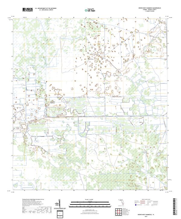
2024 Map of Crows Nest Hammock
USGS Topo · Published 2024About this map
Crows Nest Hammock and the surrounding interior of Hendry County define this corner of south Florida, where land and water merge into a complex wetland ecosystem. The map reveals the intricate natural drainage patterns of the Everglades fringes, characterized by distinctive features such as Crows Nest Slough, Boggy Slough, and the cypress-lined waters of Tony Strand. These names point to the area's history of cattle ranching and wilderness navigation before modern development.
Find a feature on this map
17 named features on this map. Tap any name to fly to it.
Don’t see what you’re looking for? This feature index may not catch every label — zoom into the map to look around manually.
Map Details
Editions of this 2024 Crows Nest Hammock Map
This is the sole edition of this map. No revisions or reprints were ever made.
Other maps of this area

1956 · West Palm Beach
USGS Topo · 1:250,000

1957 · West Palm Beach
USGS Topo · 1:250,000

1958 · West Palm Beach
USGS Topo · 1:250,000

1958 · Felda SE
USGS Topo · 1:24,000

1958 · Sunniland
USGS Topo · 1:24,000

1958 · Immokalee NE
USGS Topo · 1:24,000

1970 · La Belle 4 SE
USGS Topo · 1:24,000

1971 · La Belle 4 SW
USGS Topo · 1:24,000

1974 · Immokalee 1 SW
USGS Topo · 1:24,000

1974 · Immokalee 1 SE
USGS Topo · 1:24,000