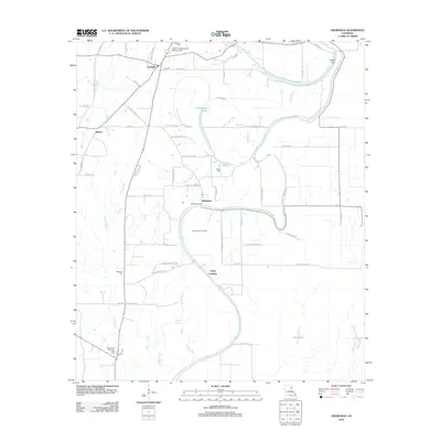
2012 Map of Crowville
USGS Topo · Published 2012About this map
The low-lying alluvial plains of Franklin Parish are defined here by the winding course of Bayou Macon and its intricate network of tributaries. Settlements like Crowville and Swampers anchor the landscape, while the historical significance of the waterway is reflected in river-access points such as Chelly Landing, Kollen Landing, and the sharp bend at French Turn. The interior is marked by diverse water features including Hollywood Lake, Harris Lake, and Howell Brake, illustrating the complex hydrology typical of this Mississippi Delta region.
Find a feature on this map
64 named features on this map. Tap any name to fly to it.
Don’t see what you’re looking for? This feature index may not catch every label — zoom into the map to look around manually.
Map Details
Editions of this 2012 Crowville Map
This is the sole edition of this map. No revisions or reprints were ever made.
Other maps of this area

1935 · Winnsboro
USGS Topo · 1:62,500

1935 · Baskinton
USGS Topo · 1:62,500

1935 · Waverly
USGS Topo · 1:62,500

1935 · Shackleford Lake
USGS Topo · 1:62,500

1955 · Jackson
USGS Topo · 1:250,000

1958 · Baskinton
USGS Topo · 1:62,500

1958 · Shackleford Lake
USGS Topo · 1:62,500

1958 · Winnsboro
USGS Topo · 1:62,500

1961 · Jackson
USGS Topo · 1:250,000

1961 · Waverly
USGS Topo · 1:62,500