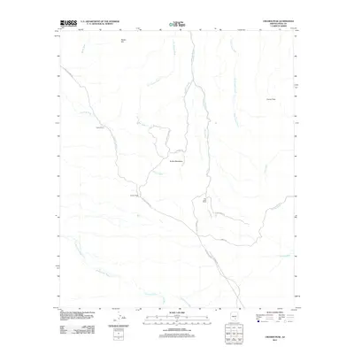
2011 Map of Crozier Peak
USGS Topo · Published 2011About this map
Ripsey Ranch and Tecolote Ranch anchor this arid landscape within the Tortilla Mountains, where a network of seasonal watercourses defines the terrain. The region is characterized by extensive drainage systems, most notably the wide paths of Cottonwood Wash, Eagle Wash, and Donnelly Wash which cut through the high desert floor. These washes served as natural corridors for early movement, reflected here by the alignment of local ranch roads such as Tecolote Ranch Rd and Hayden Ranch Rd.
Find a feature on this map
26 named features on this map. Tap any name to fly to it.
Don’t see what you’re looking for? This feature index may not catch every label — zoom into the map to look around manually.
Map Details
Editions of this 2011 Crozier Peak Map
This is the sole edition of this map. No revisions or reprints were ever made.
Other maps of this area

1900 · Florence
USGS Topo · 1:125,000

1902 · Florence
USGS Topo · 1:125,000

1910 · Ray
USGS Topo · 1:62,500

1911 · Winkelman
USGS Topo · 1:125,000

1913 · Winkelman
USGS Topo · 1:125,000

1934 · Newman Peak
USGS Topo · 1:125,000

1949 · Crozier Peak
USGS Topo · 1:24,000

1949 · Winkelman
USGS Topo · 1:24,000

1949 · Winkelman
USGS Topo · 1:62,500

1949 · Black Mountain
USGS Topo · 1:24,000