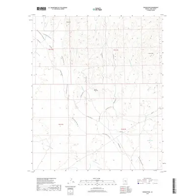
2018 Map of Crozier Peak
USGS Topo · Published 2018About this map
The Tortilla Mountains dominate this arid landscape in Pinal County, where elevations rise toward the namesake Crozier Peak in the northeast. The Arizona National Scenic Trail winds north-to-south across the high ground, providing a continuous path through a region defined by complex drainage networks. These desert systems include Ripsey Wash near Ripsey Hill, Donnelly Wash, and Cottonwood Wash, which illustrate the natural watershed patterns of the Gila River basin.
Find a feature on this map
31 named features on this map. Tap any name to fly to it.
Don’t see what you’re looking for? This feature index may not catch every label — zoom into the map to look around manually.
Map Details
Editions of this 2018 Crozier Peak Map
This is the sole edition of this map. No revisions or reprints were ever made.
Other maps of this area

1900 · Florence
USGS Topo · 1:125,000

1902 · Florence
USGS Topo · 1:125,000

1910 · Ray
USGS Topo · 1:62,500

1911 · Winkelman
USGS Topo · 1:125,000

1913 · Winkelman
USGS Topo · 1:125,000

1934 · Newman Peak
USGS Topo · 1:125,000

1949 · Crozier Peak
USGS Topo · 1:24,000

1949 · Winkelman
USGS Topo · 1:24,000

1949 · Winkelman
USGS Topo · 1:62,500

1949 · Black Mountain
USGS Topo · 1:24,000