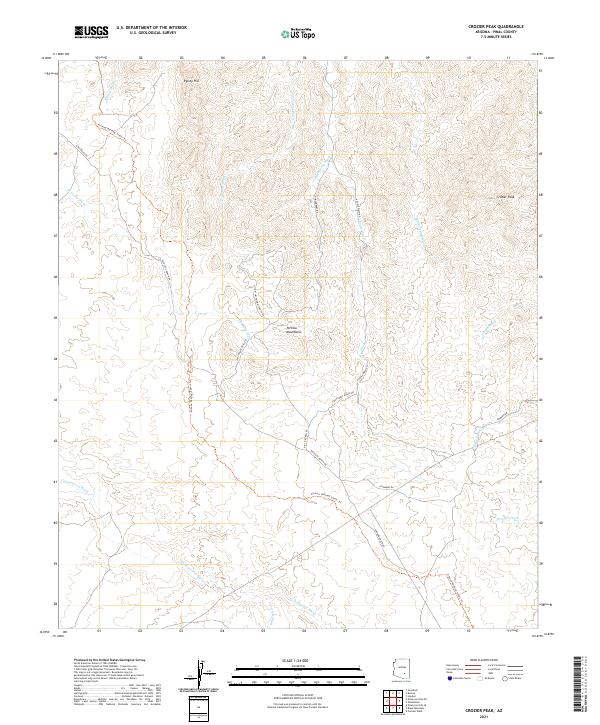
2021 Map of Crozier Peak
USGS Topo · Published 2021About this map
Arizona National Scenic Trl winds through this high-desert landscape in Pinal County, tracing a path through the southern reaches of the Tortilla Mountains. The terrain is defined by a dense network of seasonal drainages, including the prominent Ripsey Wash and Cottonwood Wash, which carve through the land surrounding landmarks like Crozier Peak and Ripsey Hill. This 2021 survey reveals a landscape of large-scale landholdings and ranching infrastructure, evidenced by private access routes such as Tecolote Ranch Rd, Tony Lopez Ranch Rd, and Haydon Ranch Rd. The intricate topography of the area, shown here in the 21st century, illustrates the enduring spatial organization of Arizona's high country, where modern recreational trails now follow the same natural corridors long used for resource management and rural transit.
Find a feature on this map
29 named features on this map. Tap any name to fly to it.
Don’t see what you’re looking for? This feature index may not catch every label — zoom into the map to look around manually.
Map Details
Editions of this 2021 Crozier Peak Map
This is the sole edition of this map. No revisions or reprints were ever made.
Other maps of this area

1900 · Florence
USGS Topo · 1:125,000

1902 · Florence
USGS Topo · 1:125,000

1910 · Ray
USGS Topo · 1:62,500

1911 · Winkelman
USGS Topo · 1:125,000

1913 · Winkelman
USGS Topo · 1:125,000

1934 · Newman Peak
USGS Topo · 1:125,000

1949 · Crozier Peak
USGS Topo · 1:24,000

1949 · Winkelman
USGS Topo · 1:24,000

1949 · Winkelman
USGS Topo · 1:62,500

1949 · Black Mountain
USGS Topo · 1:24,000