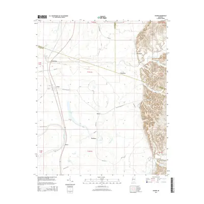
2015 Map of Cruger
USGS Topo · Published 2015About this map
Cruger and Pinchback sit at the transition between the flat alluvial plains of the Mississippi Delta and the rising bluff line to the east. This 2015 layout shows a landscape shaped by agriculture and water, where Abiaca Creek and Alligator Bayou wind through fields toward Tchula Lake. The eastern edge of the map features significant elevation changes at Pine Bluff, contrasting sharply with the low-lying drainage basins of Millstone Bayou and Morgan Bayou.
Find a feature on this map
38 named features on this map. Tap any name to fly to it.
Don’t see what you’re looking for? This feature index may not catch every label — zoom into the map to look around manually.
Map Details
Editions of this 2015 Cruger Map
This is the sole edition of this map. No revisions or reprints were ever made.
Other maps of this area

1940 · Seven Pines
USGS Topo · 1:62,500

1940 · Lexington
USGS Topo · 1:62,500

1940 · Mileston
USGS Topo · 1:62,500

1953 · Greenwood
USGS Topo · 1:250,000

1954 · Mileston
USGS Topo · 1:62,500

1956 · Greenwood
USGS Topo · 1:250,000

1957 · Lexington
USGS Topo · 1:62,500

1957 · Seven Pines
USGS Topo · 1:62,500

1958 · Seven Pines
USGS Topo · 1:62,500

1958 · Lexington
USGS Topo · 1:62,500