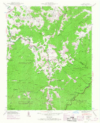
1941 Map of Cruso
USGS Topo · Published 1968About this map
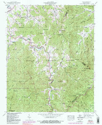
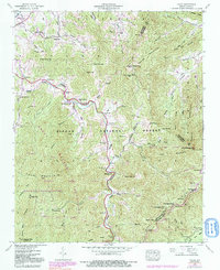
Pigeon River headwaters dominate this 1941 survey of the Blue Ridge, where small mountain communities like Cruso and Spring Hill sit at the edge of the Pisgah National Forest. The landscape is a mix of small-scale agriculture and conservation efforts, shown by the boundaries of the Sherwood Wildlife Management Area and the Pisgah Wildlife Management Area. Local life is anchored by family-named landmarks and rural institutions, including Longs Chapel, Meadow Grove Ch, and the Springdale Sch.
Find a feature on this map
66 named features on this map. Tap any name to fly to it.
Don’t see what you’re looking for? This feature index may not catch every label — zoom into the map to look around manually.
Map Details
Editions of this 1941 Cruso Map
6 editions found
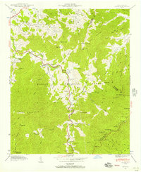
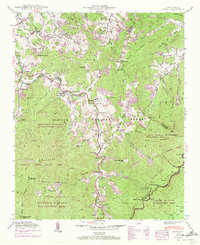
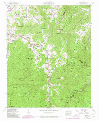
Other maps of this area

1894 · Asheville
USGS Topo · 1:125,000

1901 · Asheville
USGS Topo · 1:125,000

1905 · Pisgah
USGS Topo · 1:125,000

1906 · Pisgah
USGS Topo · 1:125,000

1935 · Cruso
USGS Topo · 1:24,000

1935 · Waynesville
USGS Topo · 1:24,000

1935 · Canton
USGS Topo · 1:24,000

1935 · Sam Knob
USGS Topo · 1:24,000

1935 · Clyde
USGS Topo · 1:24,000

1935 · Shining Rock
USGS Topo · 1:24,000