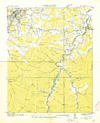
1941 Map of Cruso
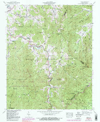
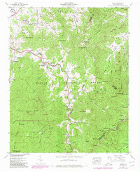
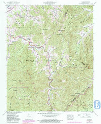
USGS Topo · Published 1991About this map
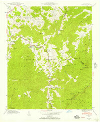
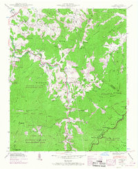
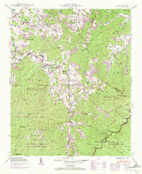
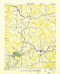
The East Fork Pigeon River carves a deep valley through the Great Balsam Mountains, anchoring a landscape defined by the steep slopes of Cold Mountain and Mt Pisgah. In the early 1940s, the small community of Cruso served as a central point for this high-elevation region, with development concentrated along the river and its numerous tributaries like Burnett Creek and Pisgah Creek. Local life was organized around small mountain churches and family-named landmarks, including Mt Zion Ch, East Fork Ch, and Longs Chapel.
Find a feature on this map
66 named features on this map. Tap any name to fly to it.
Don’t see what you’re looking for? This feature index may not catch every label — zoom into the map to look around manually.
Map Details
Editions of this 1941 Cruso Map
6 editions found
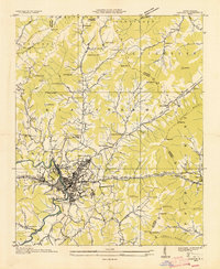
Other maps of this area

1894 · Asheville
USGS Topo · 1:125,000

1901 · Asheville
USGS Topo · 1:125,000

1905 · Pisgah
USGS Topo · 1:125,000

1906 · Pisgah
USGS Topo · 1:125,000

1935 · Cruso
USGS Topo · 1:24,000
1935 · Waynesville
USGS Topo · 1:24,000
1935 · Canton
USGS Topo · 1:24,000

1935 · Sam Knob
USGS Topo · 1:24,000
1935 · Clyde
USGS Topo · 1:24,000

1935 · Shining Rock
USGS Topo · 1:24,000