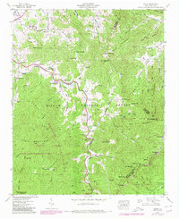
1941 Map of Cruso
USGS Topo · Published 1980About this map
The East Fork Pigeon River carves a deep valley through this mountain landscape, serving as the primary corridor for settlement and transit. Small community centers like Cruso and Camp Hope are joined by a network of country churches including Meadow Grove Ch and Mt Zion Ch, indicating a dispersed but established rural population during the early 1940s. The terrain is defined by massive peaks and high ridges, notably Mt Pisgah and the high summit of Cold Mountain.
Find a feature on this map
79 named features on this map. Tap any name to fly to it.
Don’t see what you’re looking for? This feature index may not catch every label — zoom into the map to look around manually.
Map Details
Editions of this 1941 Cruso Map
6 editions found
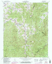
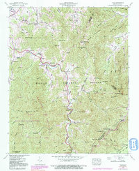
Other maps of this area

1894 · Asheville
USGS Topo · 1:125,000

1901 · Asheville
USGS Topo · 1:125,000

1905 · Pisgah
USGS Topo · 1:125,000

1906 · Pisgah
USGS Topo · 1:125,000

1935 · Cruso
USGS Topo · 1:24,000

1935 · Waynesville
USGS Topo · 1:24,000

1935 · Canton
USGS Topo · 1:24,000

1935 · Sam Knob
USGS Topo · 1:24,000

1935 · Clyde
USGS Topo · 1:24,000

1935 · Shining Rock
USGS Topo · 1:24,000