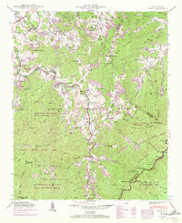
1941 Map of Cruso
USGS Topo · Published 1972About this map
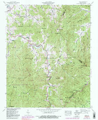
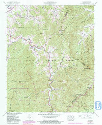
The Pigeon River and its East Fork carve through this high-elevation landscape in the Blue Ridge Mountains, anchoring small communities like Cruso and Spring Hill. Published by the Geological Survey and the Tennessee Valley Authority, the map documents a transition between early rural settlement and extensive conservation efforts. Local life centers on institutions like Springdale Sch and several country churches, including Meadow Grove Ch and Longs Chapel. To the south and west, the land rises sharply into the Shining Rock Wild Area and Sherwood Wildlife Management Area, where landmarks like Cold Mountain and Stairs Mtn dominate the horizon. The presence of Quinn Cem and various named coves and branches provides valuable geographical context for genealogists tracing family histories in the western North Carolina wilderness during the mid-20th century.
Find a feature on this map
75 named features on this map. Tap any name to fly to it.
Don’t see what you’re looking for? This feature index may not catch every label — zoom into the map to look around manually.
Map Details
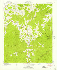
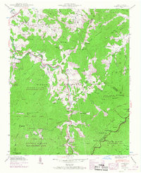
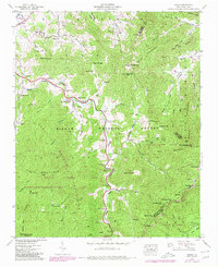
Editions of this 1941 Cruso Map
6 editions found
Other maps of this area

1894 · Asheville
USGS Topo · 1:125,000

1901 · Asheville
USGS Topo · 1:125,000

1905 · Pisgah
USGS Topo · 1:125,000

1906 · Pisgah
USGS Topo · 1:125,000

1935 · Cruso
USGS Topo · 1:24,000

1935 · Waynesville
USGS Topo · 1:24,000

1935 · Canton
USGS Topo · 1:24,000

1935 · Sam Knob
USGS Topo · 1:24,000

1935 · Clyde
USGS Topo · 1:24,000

1935 · Shining Rock
USGS Topo · 1:24,000