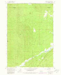
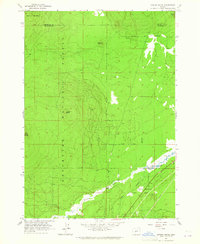
1963 Map of Cryder Butte
USGS Topo · Published 1981About this map
Deschutes National Forest lands dominate this central Oregon landscape, where the volcanic topography of the high Cascades meets a complex hydrologic network. The map reveals the confluence of Crescent Creek and the Little Deschutes River, a critical riparian corridor punctuated by Kemp Bridge. The terrain is defined by prominent volcanic features including Cryder Butte, Davis Mountain, and the distinct Eagle Rock. While largely undeveloped forest, the presence of a Pipeline, Gravel Pits, and a small settlement at Little River indicates the early industrial and utility footprint in the region. Numerous Jeep Trails and 4wd routes crisscross the boundary between Deschutes and Klamath counties, marking the historical access points for logging and land management prior to more modern infrastructure development.
Find a feature on this map
16 named features on this map. Tap any name to fly to it.
Don’t see what you’re looking for? This feature index may not catch every label — zoom into the map to look around manually.
Map Details
Editions of this 1963 Cryder Butte Map
2 editions found
Other maps of this area

1930 · Maiden Peak
USGS Topo · 1:125,000

1934 · Maiden Peak
USGS Topo · 1:125,000

1935 · Chemult
USGS Topo · 1:96,000

1941 · Chemult
USGS Topo · 1:125,000

1955 · Crescent
USGS Topo · 1:250,000

1957 · Crescent
USGS Topo · 1:250,000

1958 · Crescent
USGS Topo · 1:250,000

1963 · Hamner Butte
USGS Topo · 1:24,000

1963 · La Pine
USGS Topo · 1:24,000

1963 · Masten Butte
USGS Topo · 1:24,000