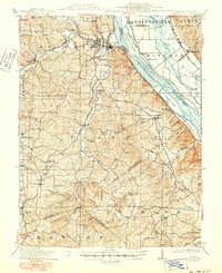
1915 Map of Crystal City
USGS Topo · Published 1950About this map
Crystal City and neighboring Festus serve as the industrial anchors of this landscape, situated where the high bluffs overlook the Mississippi River. In the early twentieth century, the region's economy was defined by its mineral wealth and river-rail connections, illustrated by the presence of Silica and Hematite, and the specialized works at Valles Mines. The St. Louis - San Francisco Railway and the St. Louis Iron Mountain and Southern Railway weave through the rugged drainages of Joachim Creek and Plattin Creek, providing the vital links necessary for the area's glass-making and mining sectors.
Find a feature on this map
89 named features on this map. Tap any name to fly to it.
Don’t see what you’re looking for? This feature index may not catch every label — zoom into the map to look around manually.
Map Details
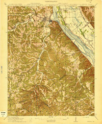
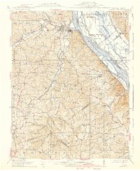
Editions of this 1915 Crystal City Map
4 editions found

Other maps of this area

1901 · De Soto
USGS Topo · 1:125,000

1904 · Farmington
USGS Topo · 1:62,500

1905 · Bonneterre
USGS Topo · 1:62,500

1906 · Farmington
USGS Topo · 1:62,500

1907 · Weingarten
USGS Topo · 1:62,500

1909 · Weingarten
USGS Topo · 1:62,500

1910 · Waterloo
USGS Topo · 1:62,500

1912 · Kimmswick
USGS Topo · 1:62,500

1913 · Waterloo
USGS Topo · 1:62,500

1915 · Renault
USGS Topo · 1:62,500