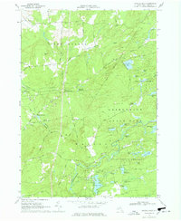
1966 Map of Crystal Dale
USGS Topo · Published 1978About this map
The Independence River and Erie Canal define the watery landscape of this 1966 survey, highlighting a transition between lowland agricultural development and the sprawling forested expanse of the Adirondack State Park. Small hamlets such as Crystal Dale and Petries Corners anchor the western portion of the map, while the east dissolves into a dense network of ponds and lakes within the State Forest Preserve.
Find a feature on this map
68 named features on this map. Tap any name to fly to it.
Don’t see what you’re looking for? This feature index may not catch every label — zoom into the map to look around manually.
Map Details
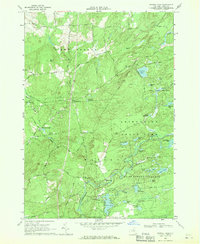
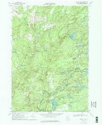
Editions of this 1966 Crystal Dale Map
3 editions found
Other maps of this area

1905 · Port Leyden
USGS Topo · 1:62,500

1907 · Port Leyden
USGS Topo · 1:62,500

1911 · Lowville
USGS Topo · 1:62,500

1912 · Number Four
USGS Topo · 1:62,500

1912 · Mc Keever
USGS Topo · 1:62,500

1913 · Lowville
USGS Topo · 1:62,500

1915 · Number Four
USGS Topo · 1:62,500

1940 · Port Leyden
USGS Topo · 1:62,500

1950 · Utica
USGS Topo · 1:250,000

1957 · Utica
USGS Topo · 1:250,000