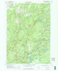
1966 Map of Crystal Dale
USGS Topo · Published 1978About this map
The hamlets of Crystal Dale and Petries Corners anchor this 1966 view of the Lewis County landscape, where the agricultural flats of the west meet the rising forest of the Adirondack State Park. This transition is clearly marked by the dense cluster of water bodies within the State Forest Preserve, including Chase Lake, Crystal Lake, and Huckleberry Lake. The map details a rural infrastructure of family-named roads like Mattis Road and Wetmore Road, alongside local landmarks such as the Wetmore Cem and Beach Millpond. The winding path of Black Creek and the Lowville Reservoir highlight the area's vital water resources. This survey illustrates the post-war character of these North Country townships—New Bremen, Watson, and Greig—capturing a period when local industries like the Gravel Pit and timber management within the preserve defined the local economy.
Find a feature on this map
50 named features on this map. Tap any name to fly to it.
Don’t see what you’re looking for? This feature index may not catch every label — zoom into the map to look around manually.
Map Details
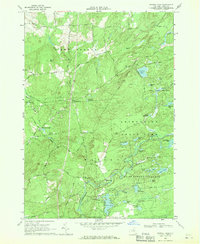
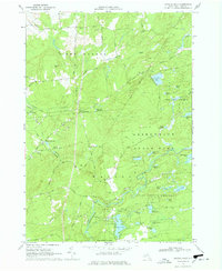
Editions of this 1966 Crystal Dale Map
3 editions found
Other maps of this area

1905 · Port Leyden
USGS Topo · 1:62,500

1907 · Port Leyden
USGS Topo · 1:62,500

1911 · Lowville
USGS Topo · 1:62,500

1912 · Number Four
USGS Topo · 1:62,500

1912 · Mc Keever
USGS Topo · 1:62,500

1913 · Lowville
USGS Topo · 1:62,500

1915 · Number Four
USGS Topo · 1:62,500

1940 · Port Leyden
USGS Topo · 1:62,500

1950 · Utica
USGS Topo · 1:250,000

1957 · Utica
USGS Topo · 1:250,000