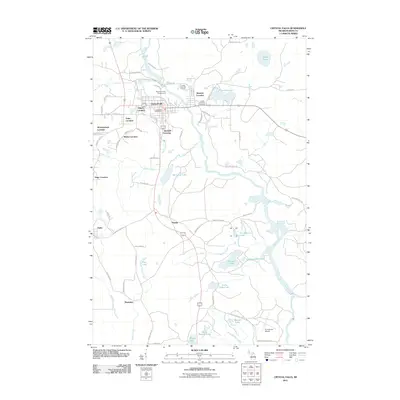
2011 Map of Crystal Falls
USGS Topo · Published 2011About this map
The Paint River anchors this survey of Iron County, Michigan, cutting a prominent path through a landscape marked by the specialized mining and company settlements common to the Upper Peninsula. These distinct residential clusters, labeled as "locations," are scattered around the main hub of Crystal Falls, including Odgers Location, Western Location, Tobin Location, and Monongahela Location. This arrangement reflects the region's industrial heritage, where workforce housing was established in immediate proximity to specific mines or shafts. To the south, the terrain opens into a network of small water bodies and wetlands, such as Leather Leaf Lake and Little Tobin Lake, while Panola and Alpha serve as southern anchors. The map also records essential infrastructure like the Iron County Airport and the Crystal Falls City Cemetery, alongside recreational spots like the Crystal View Golf Course.
Find a feature on this map
71 named features on this map. Tap any name to fly to it.
Don’t see what you’re looking for? This feature index may not catch every label — zoom into the map to look around manually.
Map Details
Editions of this 2011 Crystal Falls Map
This is the sole edition of this map. No revisions or reprints were ever made.
Other maps of this area

1899 · Sagola
USGS Topo · 1:62,500

1899 · Crystal Falls
USGS Topo · 1:62,500

1939 · Iron Mountain
USGS Topo · 1:48,000

1941 · Florence
USGS Topo · 1:48,000

1941 · Iron Mountain
USGS Topo · 1:48,000

1944 · Crystal Falls
USGS Topo · 1:24,000

1944 · Fortune Lakes
USGS Topo · 1:24,000

1945 · Kelso Junction
USGS Topo · 1:24,000

1945 · Amasa
USGS Topo · 1:24,000

1946 · Crystal Falls
USGS Topo · 1:31,680