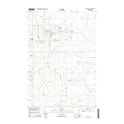
2014 Map of Crystal Falls
USGS Topo · Published 2014About this map
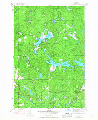
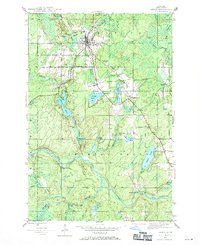
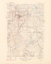
Crystal Falls serves as the central hub of this Upper Peninsula landscape, surrounded by a distinct pattern of residential clusters known as "locations." These settlements, including Western Location, Kimball Location, and Tobin Location, reflect the region's industrial heritage, often established to house workers for local mining and timber operations. The Paint River winds through the eastern portion of the quadrangle, which is characterized by a high concentration of water bodies such as Runkle Lake, Railroad Lake, and Seven Springs Lake.
Find a feature on this map
108 named features on this map. Tap any name to fly to it.
Don’t see what you’re looking for? This feature index may not catch every label — zoom into the map to look around manually.
Map Details
Editions of this 2014 Crystal Falls Map
This is the sole edition of this map. No revisions or reprints were ever made.
Other maps of this area
1899 · Sagola
USGS Topo · 1:62,500
1899 · Crystal Falls
USGS Topo · 1:62,500
1939 · Iron Mountain
USGS Topo · 1:48,000
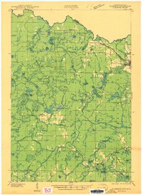
1941 · Florence
USGS Topo · 1:48,000
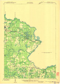
1941 · Iron Mountain
USGS Topo · 1:48,000
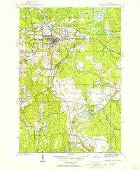
1944 · Crystal Falls
USGS Topo · 1:24,000
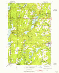
1944 · Fortune Lakes
USGS Topo · 1:24,000
1945 · Kelso Junction
USGS Topo · 1:24,000
1945 · Amasa
USGS Topo · 1:24,000
1946 · Crystal Falls
USGS Topo · 1:31,680