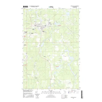
2017 Map of Crystal Falls
USGS Topo · Published 2017About this map
The iron mining legacy of the Upper Peninsula is written across the landscape of Crystal Falls, where numerous residential clusters known as "locations" mark the proximity of former mining operations. These residential pockets, including Western Location, Odgers Location, Tobin Location, and Kimball Location, illustrate the historical development of company-built neighborhoods that once served the region's mineral wealth. The Paint River winds through the center of the map, providing a natural focus for the area near Runkle Lake and the northern outskirts of the city. To the south, the village of Alpha and the settlement of Mastodon appear amidst a complex network of wetlands and small lakes such as Finn Lake and Little Tobin Lake. The map also details essential local infrastructure, from the Evergreen Memorial Cem to the Iron County Airport, providing a clear view of the modern community's layout over its industrial foundations.
Find a feature on this map
93 named features on this map. Tap any name to fly to it.
Don’t see what you’re looking for? This feature index may not catch every label — zoom into the map to look around manually.
Map Details
Editions of this 2017 Crystal Falls Map
This is the sole edition of this map. No revisions or reprints were ever made.
Other maps of this area

1899 · Sagola
USGS Topo · 1:62,500

1899 · Crystal Falls
USGS Topo · 1:62,500

1939 · Iron Mountain
USGS Topo · 1:48,000

1941 · Florence
USGS Topo · 1:48,000

1941 · Iron Mountain
USGS Topo · 1:48,000

1944 · Crystal Falls
USGS Topo · 1:24,000

1944 · Fortune Lakes
USGS Topo · 1:24,000

1945 · Kelso Junction
USGS Topo · 1:24,000

1945 · Amasa
USGS Topo · 1:24,000

1946 · Crystal Falls
USGS Topo · 1:31,680