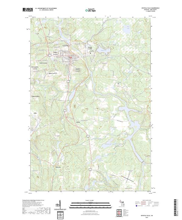
2023 Map of Crystal Falls
USGS Topo · Published 2023About this map
The Paint River winds through this northern Michigan landscape, serving as a focal point for the settlement and industrial history of Crystal Falls. The town center, marked by the Iron County Courthouse, is surrounded by numerous historical mining residential areas known as "locations," including Western Location, Odgers Location, Tobin Location, and Kimball Location. These distinct clusters, along with Alpha and Mastodon further south, reflect the region's heritage of iron mining and community development. North of the city, the landscape is punctuated by Runkle Lake and Mud Lakes, while the southern reaches feature the broad Panola Plains. The local infrastructure is documented through landmarks like the Evergreen Memorial Cem and Iron County Airport, alongside a network of trails such as the Stateline Route Trl, providing a clear view of the area's modern spatial organization and its roots in the regional mineral economy.
Find a feature on this map
97 named features on this map. Tap any name to fly to it.
Don’t see what you’re looking for? This feature index may not catch every label — zoom into the map to look around manually.
Map Details
Editions of this 2023 Crystal Falls Map
This is the sole edition of this map. No revisions or reprints were ever made.
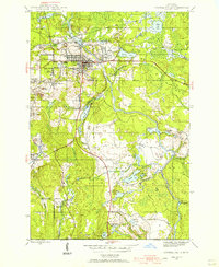
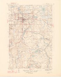
Historical Maps of Tobin Location Through Time
4 maps found

Featured Locations
- Crystal Falls, MI
- Mastodon Township, MI
- Kimball Location, Crystal Falls
- Alpha, Mastodon Township
- Mastodon, Mastodon Township