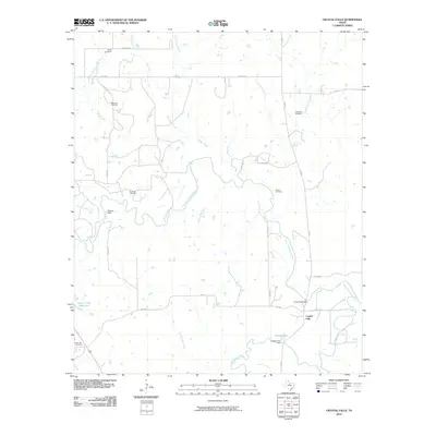
2010 Map of Crystal Falls
USGS Topo · Published 2010About this map
The Clear Fork Brazos River carves a winding path through this North Texas landscape, centered on the settlement of Crystal Falls. The river's influence is evident in the infrastructure of the era, marked by the Crystal Falls Dam and Powers Dam, which suggest a history of water management for agricultural or local utility needs. To the south, Dooley Lake and its associated Dooley Lake Dam sit near the confluence of Hubbard Creek, while the Lester Clark Reservoir anchors the western edge of the quadrangle.
Find a feature on this map
36 named features on this map. Tap any name to fly to it.
Don’t see what you’re looking for? This feature index may not catch every label — zoom into the map to look around manually.
Map Details
Editions of this 2010 Crystal Falls Map
This is the sole edition of this map. No revisions or reprints were ever made.
Other maps of this area

1890 · Breckenridge
USGS Topo · 1:125,000

1892 · Albany
USGS Topo · 1:125,000

1893 · Albany
USGS Topo · 1:125,000

1954 · Abilene
USGS Topo · 1:250,000

1954 · Wichita Falls
USGS Topo · 1:250,000

1958 · Wichita Falls
USGS Topo · 1:250,000

1958 · Abilene
USGS Topo · 1:250,000

1958 · Breckenridge
USGS Topo · 1:24,000

1958 · Edwards Branch
USGS Topo · 1:24,000

1965 · Lusk
USGS Topo · 1:24,000