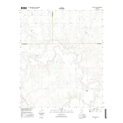
2016 Map of Crystal Falls
USGS Topo · Published 2016About this map
Crystal Falls serves as the focal point of this landscape where the boundaries of Stephens, Throckmorton, and Young counties converge. The terrain is defined by the winding course of Hubbard Creek and the notable Crystal Falls Reservoir, alongside several smaller water bodies such as Dooley Lake and Buffalo Br. A high concentration of family cemeteries, including Smith Cem, Mathiews Cem, and Huffstuttle Cem, suggests a long-established rural community pattern with deep genealogical roots in the surrounding countryside.
Find a feature on this map
31 named features on this map. Tap any name to fly to it.
Don’t see what you’re looking for? This feature index may not catch every label — zoom into the map to look around manually.
Map Details
Editions of this 2016 Crystal Falls Map
This is the sole edition of this map. No revisions or reprints were ever made.
Other maps of this area

1890 · Breckenridge
USGS Topo · 1:125,000

1892 · Albany
USGS Topo · 1:125,000

1893 · Albany
USGS Topo · 1:125,000

1954 · Abilene
USGS Topo · 1:250,000

1954 · Wichita Falls
USGS Topo · 1:250,000

1958 · Wichita Falls
USGS Topo · 1:250,000

1958 · Abilene
USGS Topo · 1:250,000

1958 · Breckenridge
USGS Topo · 1:24,000

1958 · Edwards Branch
USGS Topo · 1:24,000

1965 · Lusk
USGS Topo · 1:24,000