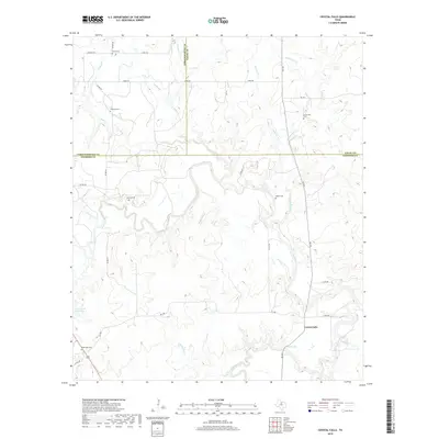
2019 Map of Crystal Falls
USGS Topo · Published 2019About this map
The Clear Fork of the Brazos River cuts a winding path across this North Texas landscape at the triple junction of Stephens, Throckmorton, and Young counties. The small settlement of Crystal Falls sits near the southern bend of the river, serving as a focal point in a region defined by its complex drainage network. Waterways like Hubbard Creek, Huffstuttle Cr, and the smaller Six Shooter Cr feed into the main river valley, creating a dissected topography.
Find a feature on this map
41 named features on this map. Tap any name to fly to it.
Don’t see what you’re looking for? This feature index may not catch every label — zoom into the map to look around manually.
Map Details
Editions of this 2019 Crystal Falls Map
This is the sole edition of this map. No revisions or reprints were ever made.
Other maps of this area

1890 · Breckenridge
USGS Topo · 1:125,000

1892 · Albany
USGS Topo · 1:125,000

1893 · Albany
USGS Topo · 1:125,000

1954 · Abilene
USGS Topo · 1:250,000

1954 · Wichita Falls
USGS Topo · 1:250,000

1958 · Wichita Falls
USGS Topo · 1:250,000

1958 · Abilene
USGS Topo · 1:250,000

1958 · Breckenridge
USGS Topo · 1:24,000

1958 · Edwards Branch
USGS Topo · 1:24,000

1965 · Lusk
USGS Topo · 1:24,000