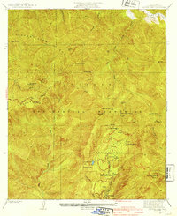
1941 Map of Crystal Lake
USGS Topo · Published 1941About this map
The high San Gabriel Mountains are documented here in detail prior to the onset of mid-century development, focusing on the recreation-rich terrain of the Crystal Lake Camp Area. This 1941 edition, based on mid-1930s fieldwork, highlights the early infrastructure of the Angeles National Forest, including the Crystal Lake Guard Station and a series of seasonal structures such as Wawona Lodge, a Store, and the YMCA Hut. The map traces the winding path of the Angeles Crest Highway as it cuts across Kratka Ridge and toward the high peaks.
Find a feature on this map
38 named features on this map. Tap any name to fly to it.
Don’t see what you’re looking for? This feature index may not catch every label — zoom into the map to look around manually.
Map Details
Editions of this 1941 Crystal Lake Map
4 editions found
Other maps of this area

1901 · Southern California Sheet No. 1
USGS Topo · 1:250,000

1903 · Rock Creek
USGS Topo · 1:62,500

1904 · Southern California Sheet No. 1
USGS Topo · 1:250,000

1934 · Mescal Creek
USGS Topo · 1:24,000
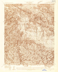
1934 · Cima Mesa
USGS Topo · 1:24,000
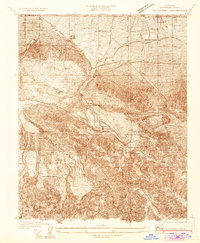
1934 · Valyermo
USGS Topo · 1:24,000
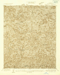
1934 · Camp Bonita
USGS Topo · 1:24,000
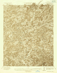
1934 · Camp Rincon
USGS Topo · 1:24,000
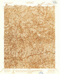
1934 · Chileno Canyon
USGS Topo · 1:24,000
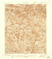
1936 · Mt. Baden-Powell
USGS Topo · 1:24,000