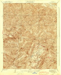
1941 Map of Crystal Lake
USGS Topo · Published 1941About this map
The Crystal Lake Camp Area serves as the focal point of this pre-war survey of the high San Gabriel Mountains. Established within the Angeles National Forest, the recreation area features localized development including the Wawona Lodge, a YMCA Hut, and a Store near the shoreline of Crystal Lake. The map illustrates the early engineering of the Angeles Crest Highway as it winds along Kratka Ridge, providing motorized access to this steep alpine environment. Significant peaks such as Mt Islip, Mt Hawkins, and Mt Williamson define the skyline, while a network of springs like Little Jimmy Spring and Windy Spring suggest the critical water sources for early mountain travelers and campers before later modernizations reached these elevations.
Find a feature on this map
38 named features on this map. Tap any name to fly to it.
Don’t see what you’re looking for? This feature index may not catch every label — zoom into the map to look around manually.
Map Details
Editions of this 1941 Crystal Lake Map
4 editions found
Other maps of this area

1901 · Southern California Sheet No. 1
USGS Topo · 1:250,000

1903 · Rock Creek
USGS Topo · 1:62,500

1904 · Southern California Sheet No. 1
USGS Topo · 1:250,000

1934 · Mescal Creek
USGS Topo · 1:24,000
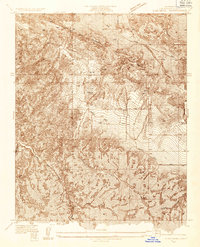
1934 · Cima Mesa
USGS Topo · 1:24,000
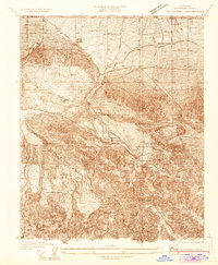
1934 · Valyermo
USGS Topo · 1:24,000
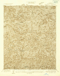
1934 · Camp Bonita
USGS Topo · 1:24,000
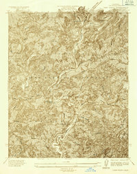
1934 · Camp Rincon
USGS Topo · 1:24,000
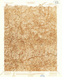
1934 · Chileno Canyon
USGS Topo · 1:24,000
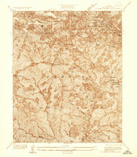
1936 · Mt. Baden-Powell
USGS Topo · 1:24,000