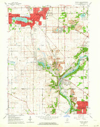
1962 Map of Crystal Lake
USGS Topo · Published 1964About this map
Crystal Lake and its surrounding suburbs dominate the northern landscape of this early 1960s survey, showing a period of significant residential expansion along the Chicago and North Western rail line. The map captures the suburban character of the era, from the established neighborhoods of Lakewood and North Shore to the rising developments at Lake in the Hills and Crystal Manor. To the south, the Fox River carves a green corridor through the terrain, passing the riverside community of Algonquin and the recreational grounds of Camp Algonquin.
Find a feature on this map
50 named features on this map. Tap any name to fly to it.
Don’t see what you’re looking for? This feature index may not catch every label — zoom into the map to look around manually.
Map Details
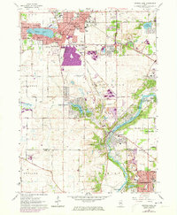
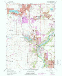
Editions of this 1962 Crystal Lake Map
4 editions found

Other maps of this area

1920 · Grays Lake
USGS Topo · 1:62,500

1923 · Grays Lake
USGS Topo · 1:62,500

1923 · Barrington
USGS Topo · 1:62,500

1925 · Elgin
USGS Topo · 1:62,500

1926 · Mc Henry
USGS Topo · 1:62,500

1935 · Barrington
USGS Topo · 1:62,500

1940 · Elgin
USGS Topo · 1:62,500

1944 · McHenry
USGS Topo · 1:62,500

1954 · Rockford
USGS Topo · 1:250,000

1955 · Rockford
USGS Topo · 1:250,000
Featured Places
- Crystal Lake, IL
- Carpentersville, Dundee Township
- Algonquin, IL
- Lake in the Hills, IL
- Rutland Township, IL