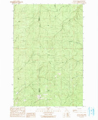
1990 Map of Crystal Peak
USGS Topo · Published 1991About this map
Crystal Peak and the high ridges of the Idaho panhandle dominate this survey, situated along the Benewah Co Shoshone Co line. The map highlights a remote mountain landscape defined by high points like Santa Peak and Renfro Peak, with the notable Crystal Lookout Tower providing a strategic vantage point atop the namesake summit. This is a wilderness environment where numerous drainages, including Renfro Creek and West Fork Mica Creek, carve deep into the terrain.
Find a feature on this map
22 named features on this map. Tap any name to fly to it.
Don’t see what you’re looking for? This feature index may not catch every label — zoom into the map to look around manually.
Map Details
Editions of this 1990 Crystal Peak Map
This is the sole edition of this map. No revisions or reprints were ever made.
Other maps of this area

1955 · Spokane
USGS Topo · 1:250,000

1957 · Calder
USGS Topo · 1:62,500

1957 · St. Joe
USGS Topo · 1:62,500

1958 · Spokane
USGS Topo · 1:250,000

1961 · Fernwood
USGS Topo · 1:62,500
1969 · Merry Creek
USGS Topo · 1:24,000

1969 · Huckleberry Mtn
USGS Topo · 1:24,000

1981 · St Maries
USGS Topo · 1:100,000
1985 · St. Joe Baldy
USGS Topo · 1:24,000
1985 · St. Joe
USGS Topo · 1:24,000