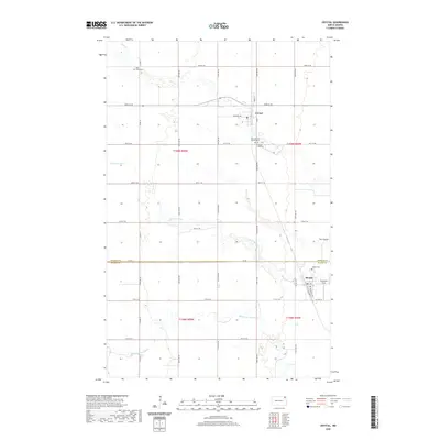
2020 Map of Crystal
USGS Topo · Published 2020About this map
Crystal and Hoople anchor this section of the Red River Valley, where the landscape is defined by the precise grid of section lines and the wandering paths of the N Br Park River and Cart Cr. The map captures the agricultural layout of the Pembina and Walsh county line, showing how early 20th-century settlement patterns persist in the placement of rural cemeteries and small-town footprints. Local family history and community roots are well-documented through sites like Saint Patricks Catholic Cem, Crystal City Cem, and the West Point Cem to the northwest. Beyond the main towns, the Anderson Strip and the natural drainage of The Coulee provide specific geographic markers for those tracing property lines or land usage in this fertile corner of North Dakota.
Find a feature on this map
38 named features on this map. Tap any name to fly to it.
Don’t see what you’re looking for? This feature index may not catch every label — zoom into the map to look around manually.
Map Details
Editions of this 2020 Crystal Map
This is the sole edition of this map. No revisions or reprints were ever made.
Other maps of this area

1944 · Crystal
USGS Topo · 1:62,500

1952 · Thief River Falls
USGS Topo · 1:250,000

1956 · Thief River Falls
USGS Topo · 1:250,000

1957 · Thief River Falls
USGS Topo · 1:250,000

1963 · Crystal SE
USGS Topo · 1:24,000

1963 · Crystal
USGS Topo · 1:24,000

1963 · Edinburg
USGS Topo · 1:24,000

1963 · Gardar
USGS Topo · 1:24,000

1963 · Nash
USGS Topo · 1:24,000

1963 · Park River
USGS Topo · 1:24,000