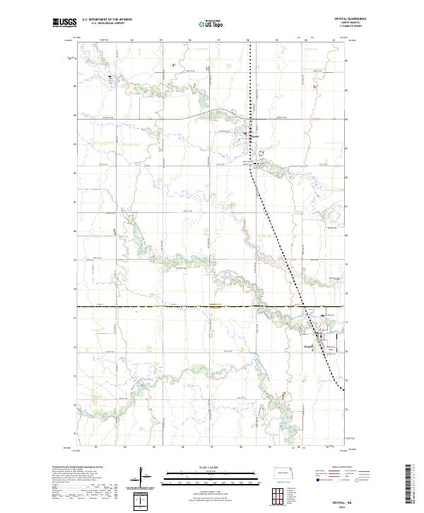
2024 Map of Crystal
USGS Topo · Published 2024About this map
The agrarian landscape of the Red River Valley is clearly defined in this recent survey of the border between Pembina and Walsh counties. Small communities like Crystal and Hoople serve as hubs for the surrounding farmstead network, which is organized along a strict grid of section lines and gravel roads. Waterways like the North Branch Park River and Middle Branch Park River meander across the plains, often flanked by narrow corridors of vegetation that contrast with the open fields. For genealogists, the map is particularly useful as it precisely locates several local burial sites, including West Point Cem, Crystal City Cem, and the Saint Patricks Catholic Cem. The inclusion of the Anderson Strip landing field near Hoople highlights the continued importance of aviation in supporting this rural agricultural region.
Find a feature on this map
29 named features on this map. Tap any name to fly to it.
Don’t see what you’re looking for? This feature index may not catch every label — zoom into the map to look around manually.
Map Details
Editions of this 2024 Crystal Map
This is the sole edition of this map. No revisions or reprints were ever made.
Other maps of this area

1944 · Crystal
USGS Topo · 1:62,500

1952 · Thief River Falls
USGS Topo · 1:250,000

1956 · Thief River Falls
USGS Topo · 1:250,000

1957 · Thief River Falls
USGS Topo · 1:250,000

1963 · Crystal SE
USGS Topo · 1:24,000

1963 · Crystal
USGS Topo · 1:24,000

1963 · Edinburg
USGS Topo · 1:24,000

1963 · Gardar
USGS Topo · 1:24,000

1963 · Nash
USGS Topo · 1:24,000

1963 · Park River
USGS Topo · 1:24,000