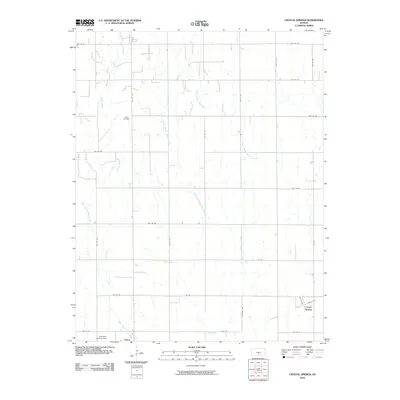
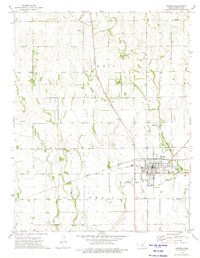
2010 Map of Crystal Springs
USGS Topo · Published 2010About this map
Bluff Creek and its many meandering tributaries define this section of the Kansas plains, carving a delicate drainage pattern across the landscape of Harper County. The land is organized by an exacting grid of county roads, such as NW 150 Rd and NW 50 Ave, which reveal the agricultural layout of the region. The map highlights the small community of Crystal Springs in the southeast, while the northern edge includes the Attica City Wells, suggesting the vital connection between these settlements and the local water table. To the southwest, the Goemann Landing Strip appears as a distinct local landmark, providing a rare break in the repeating pattern of section lines. This document effectively traces the hydrological network formed by the East Branch Bluff Creek and Middle Branch Bluff Creek, showing how these natural waterways persist within a highly structured human landscape.
Find a feature on this map
28 named features on this map. Tap any name to fly to it.
Don’t see what you’re looking for? This feature index may not catch every label — zoom into the map to look around manually.
Map Details
Editions of this 2010 Crystal Springs Map
This is the sole edition of this map. No revisions or reprints were ever made.
Other maps of this area

1889 · Anthony
USGS Topo · 1:125,000

1891 · Anthony
USGS Topo · 1:125,000

1955 · Pratt
USGS Topo · 1:250,000

1959 · Pratt
USGS Topo · 1:250,000

1972 · Attica
USGS Topo · 1:24,000
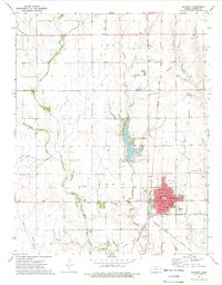
1972 · Anthony
USGS Topo · 1:24,000

1972 · Crisfield
USGS Topo · 1:24,000
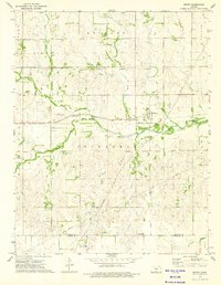
1973 · Spivey
USGS Topo · 1:24,000
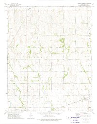
1973 · Crystal Springs
USGS Topo · 1:24,000
1973 · Harper
USGS Topo · 1:24,000