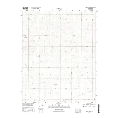
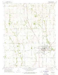
2016 Map of Crystal Springs
USGS Topo · Published 2016About this map
Attica and the unincorporated community of Crystal Springs anchor this portion of Harper County, defined by a branching hydraulic network of the Bluff Cr system. The landscape is structured by a rigid section-line road grid, including NW 150 Rd and NW 50 Ave, which segments the prairie into agricultural squares. These roads provide access to local landmarks like Melvin Cem and Crystal Springs Cem, providing essential points of reference for genealogical research in this rural corridor. The drainage patterns of Middle Br Bluff Cr, W Br Bluff Cr, and E Br Bluff Cr reveal the natural topography that underlies the man-made grid, showing how local watercourses dictated early settlement and land use in the region.
Find a feature on this map
32 named features on this map. Tap any name to fly to it.
Don’t see what you’re looking for? This feature index may not catch every label — zoom into the map to look around manually.
Map Details
Editions of this 2016 Crystal Springs Map
This is the sole edition of this map. No revisions or reprints were ever made.
Other maps of this area

1889 · Anthony
USGS Topo · 1:125,000

1891 · Anthony
USGS Topo · 1:125,000

1955 · Pratt
USGS Topo · 1:250,000

1959 · Pratt
USGS Topo · 1:250,000

1972 · Attica
USGS Topo · 1:24,000
1972 · Anthony
USGS Topo · 1:24,000

1972 · Crisfield
USGS Topo · 1:24,000
1973 · Spivey
USGS Topo · 1:24,000
1973 · Crystal Springs
USGS Topo · 1:24,000
1973 · Harper
USGS Topo · 1:24,000