
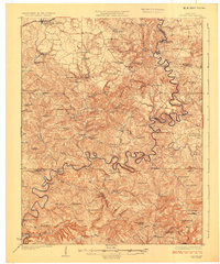
1925 Map of Cub Run
USGS Topo · Published 1925About this map
The winding Nolin River dominates this mid-1920s survey of central Kentucky, its serpentine bends carving through the rural landscape between Millerstown and Dickeys Mills. The map captures a moment when water-powered industry still anchored local commerce, evidenced by Hughes Mill, Ames Mill, and Wheelers Mill positioned along the river and its tributaries. While the Illinois Central railroad touches the northern boundary at Clarkson and Grayson Springs Station, much of the interior relies on a network of schools and churches that served small agrarian communities. Researchers will find numerous family-named locations such as Sanders Store, Cox Store, and Hester School. In the southwest corner, the Green River makes a brief appearance near Whistle Mountain, marking the transition into the terrain of the Mammoth Cave area. The distribution of features like Washington Meredith Ford and Pierce Ford highlights the river's historical role as both a barrier and a thoroughfare for early travelers.
Find a feature on this map
109 named features on this map. Tap any name to fly to it.
Don’t see what you’re looking for? This feature index may not catch every label — zoom into the map to look around manually.
Map Details
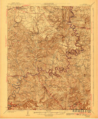
Editions of this 1925 Cub Run Map
3 editions found
Other maps of this area

1922 · Leitchfield
USGS Topo · 1:48,000

1922 · Brownsville
USGS Topo · 1:62,500

1922 · Mammoth Cave
USGS Topo · 1:62,500

1923 · Mammoth Cave
USGS Topo · 1:62,500

1923 · Brownsville
USGS Topo · 1:62,500

1925 · Leitchfield
USGS Topo · 1:62,500

1932 · Big Clifty
USGS Topo · 1:62,500

1934 · Munfordville
USGS Topo · 1:48,000

1935 · Horse Cave
USGS Topo · 1:48,000

1935 · Elizabethtown
USGS Topo · 1:48,000