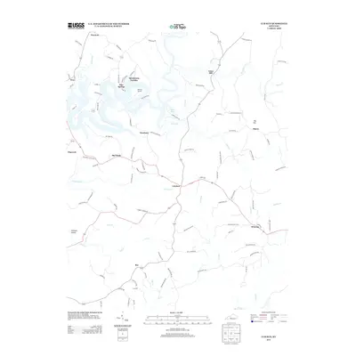
2013 Map of Cub Run
USGS Topo · Published 2013About this map
Nolin Lake snakes through the center of this landscape, its winding fingers like Pine Hurst Bay carving deep into the surrounding hills. This 2013 survey shows a region defined by its small rural crossroads and the legacy of local industry, such as Lines Mill on the banks of Bacon Creek. The settlement pattern reflects the ruggedness of the terrain, with family-named landmarks and rural outposts like Pearman, Cub Run, and Big Windy connected by a network of winding roads.
Find a feature on this map
95 named features on this map. Tap any name to fly to it.
Don’t see what you’re looking for? This feature index may not catch every label — zoom into the map to look around manually.
Map Details
Editions of this 2013 Cub Run Map
This is the sole edition of this map. No revisions or reprints were ever made.
Other maps of this area

1922 · Mammoth Cave
USGS Topo · 1:62,500

1923 · Mammoth Cave
USGS Topo · 1:62,500

1925 · Cub Run
USGS Topo · 1:62,500

1934 · Munfordville
USGS Topo · 1:48,000

1935 · Horse Cave
USGS Topo · 1:48,000

1937 · Munfordville
USGS Topo · 1:62,500

1938 · Horse Cave
USGS Topo · 1:62,500

1953 · Munfordville
USGS Topo · 1:24,000

1954 · Evansville
USGS Topo · 1:250,000

1954 · Horse Cave
USGS Topo · 1:24,000