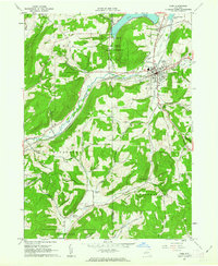
1961 Map of Cuba
USGS Topo · Published 1963About this map
Oil Spring Indian Reservation sits at the heart of this landscape, bisected by the county line between Cattaraugus and Allegany counties. The village of Cuba serves as a local hub, situated at the confluence of the Erie-Lackawanna and Pennsylvania railroad lines. To the north, Cuba Lake provides a prominent water feature, while the surrounding hills like Spring Hill and Keller Hill are marked by a network of rural routes including Plank Road and Stoney Lonesome Road. The presence of the Olean Municipal Airport in the northwest corner and multiple Sand and Gravel Pits further south reflects the mid-century intersection of regional transportation and local industry. Genealogists may find value in the location of Union Hill Cem and other cemeteries distributed near North Cuba and the central village area.
Find a feature on this map
42 named features on this map. Tap any name to fly to it.
Don’t see what you’re looking for? This feature index may not catch every label — zoom into the map to look around manually.
Map Details
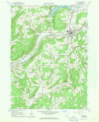
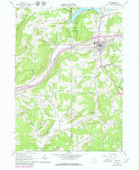
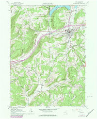
Editions of this 1961 Cuba Map
4 editions found
Other maps of this area

1898 · Olean
USGS Topo · 1:62,500

1906 · Angelica
USGS Topo · 1:62,500

1924 · Franklinville
USGS Topo · 1:62,500

1925 · Belmont
USGS Topo · 1:62,500

1938 · Olean
USGS Topo · 1:62,500

1939 · Belmont
USGS Topo · 1:62,500

1941 · Angelica
USGS Topo · 1:62,500

1942 · Franklinville
USGS Topo · 1:62,500

1943 · Olean
USGS Topo · 1:62,500

1960 · Buffalo
USGS Topo · 1:250,000