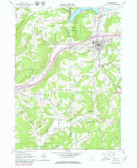
1961 Map of Cuba
USGS Topo · Published 1980About this map
Oil Spring Indian Reservation occupies a central position north of the village of Cuba, surrounded by hills and water features that define this corner of Western New York. The landscape is shaped by the transition from the Genesee Valley Canal Railroad to the Conrail system, tracing a history of transport along Oil Creek. To the north, Cuba Lake stands as a significant landmark, while the surrounding townships of Ischua, Hinsdale, and Clarksville are dotted with family-named routes like Kinney Hill Road and Wagner Hill Road. The 1960s photogrammetric data, updated with 1970s revisions, reveals the rural character of settlements like Haskell Flats and Germantown, alongside civil infrastructure including the Olean Municipal Airport and a local Hospital. This record captures the precise boundaries and infrastructure of the Allegany and Cattaraugus county lines during a period of modern topographical refinement.
Find a feature on this map
53 named features on this map. Tap any name to fly to it.
Don’t see what you’re looking for? This feature index may not catch every label — zoom into the map to look around manually.
Map Details
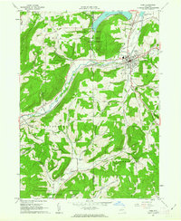
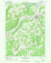
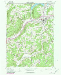
Editions of this 1961 Cuba Map
4 editions found
Other maps of this area

1898 · Olean
USGS Topo · 1:62,500

1906 · Angelica
USGS Topo · 1:62,500

1924 · Franklinville
USGS Topo · 1:62,500

1925 · Belmont
USGS Topo · 1:62,500

1938 · Olean
USGS Topo · 1:62,500

1939 · Belmont
USGS Topo · 1:62,500

1941 · Angelica
USGS Topo · 1:62,500

1942 · Franklinville
USGS Topo · 1:62,500

1943 · Olean
USGS Topo · 1:62,500

1960 · Buffalo
USGS Topo · 1:250,000