
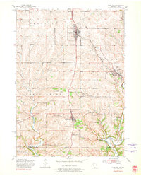
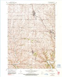
1952 Map of Cuba City
USGS Topo · Published 1954About this map
Cuba City and Benton anchor this early 1950s survey of the Wisconsin-Illinois borderlands, a landscape defined by its deep mining heritage and rural schoolhouse network. The map reveals the industrial character of the era through numerous Inactive Mines, a Mine Dump, and Tailings piles near the Coon Branch. This region’s social fabric is visible in its remarkably dense distribution of local schools, including uniquely named sites like Hell Sch, Model Sch, and North Hollow Sch.
Find a feature on this map
35 named features on this map. Tap any name to fly to it.
Don’t see what you’re looking for? This feature index may not catch every label — zoom into the map to look around manually.
Map Details
Editions of this 1952 Cuba City Map
3 editions found
Other maps of this area

1900 · Lancaster
USGS Topo · 1:125,000

1901 · Peosta
USGS Topo · 1:125,000

1902 · Mineral Point
USGS Topo · 1:125,000

1904 · Lancaster
USGS Topo · 1:125,000

1908 · Lancaster
USGS Topo · 1:125,000

1911 · Galena
USGS Topo · 1:62,500

1913 · Galena
USGS Topo · 1:62,500

1935 · East Dubuque
USGS Topo · 1:62,500

1940 · East Dubuque
USGS Topo · 1:62,500

1952 · Platteville
USGS Topo · 1:24,000